Aerial Mapping & High-Resolution Site Documentation
Project Overview
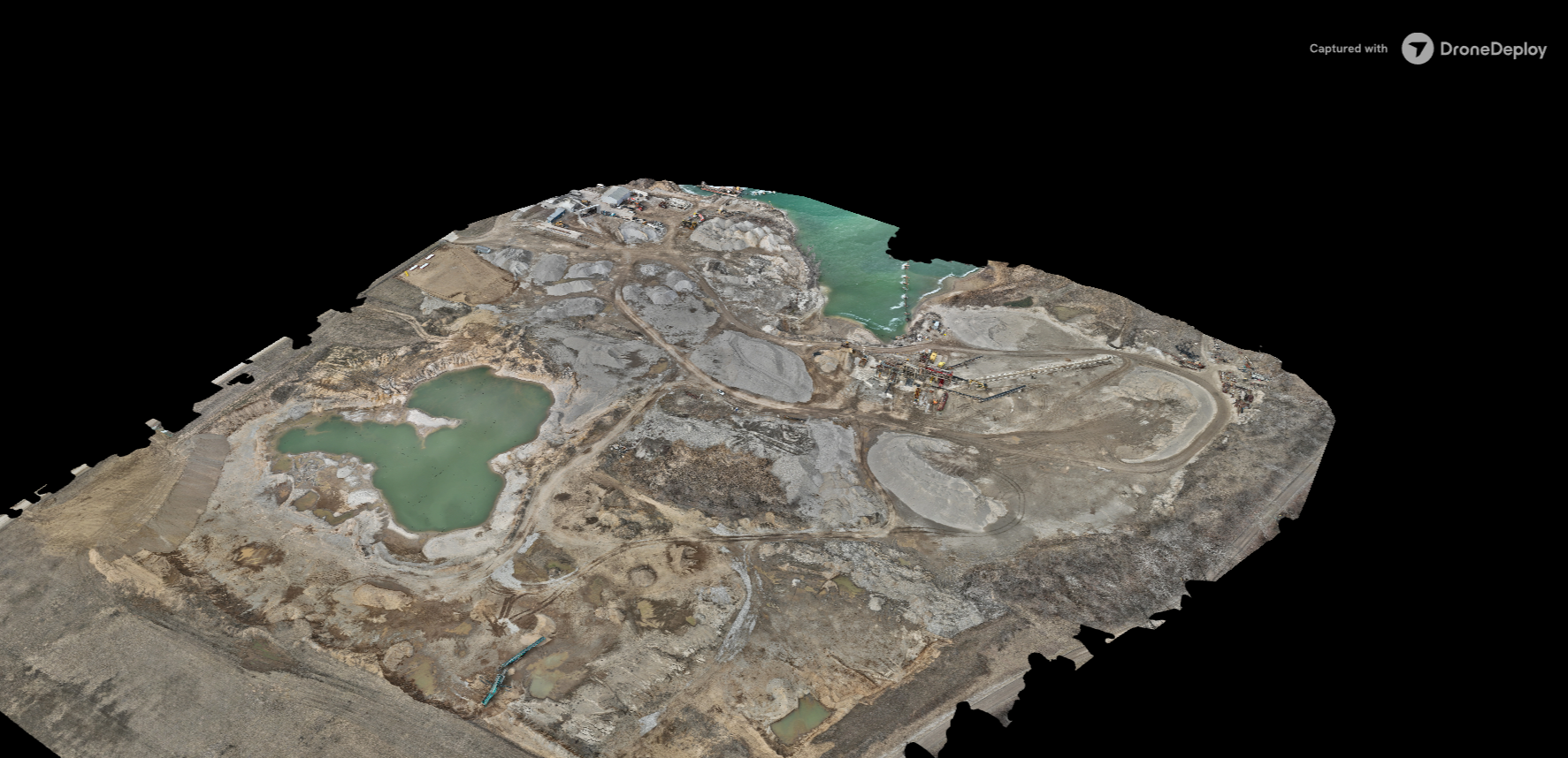
Aggregate Automation completed an aerial mapping project to provide a detailed visual representation of an existing site. Using drone-based aerial photography and photogrammetry, we captured hundreds of overlapping images and processed them into a high-resolution aerial map.
The resulting map provides a comprehensive view of site conditions, allowing customers to evaluate existing infrastructure, document site features, and reference accurate aerial imagery.
The Objective
The objective was to produce an accurate, high-resolution aerial representation of the project site while minimizing the time and resources required for traditional ground-based documentation.
The customer required a detailed visual reference that could support site planning, operational decisions, and future project development.
Our Approach
Aggregate Automation utilized professional drone surveying equipment to capture overlapping aerial photographs across the project area.
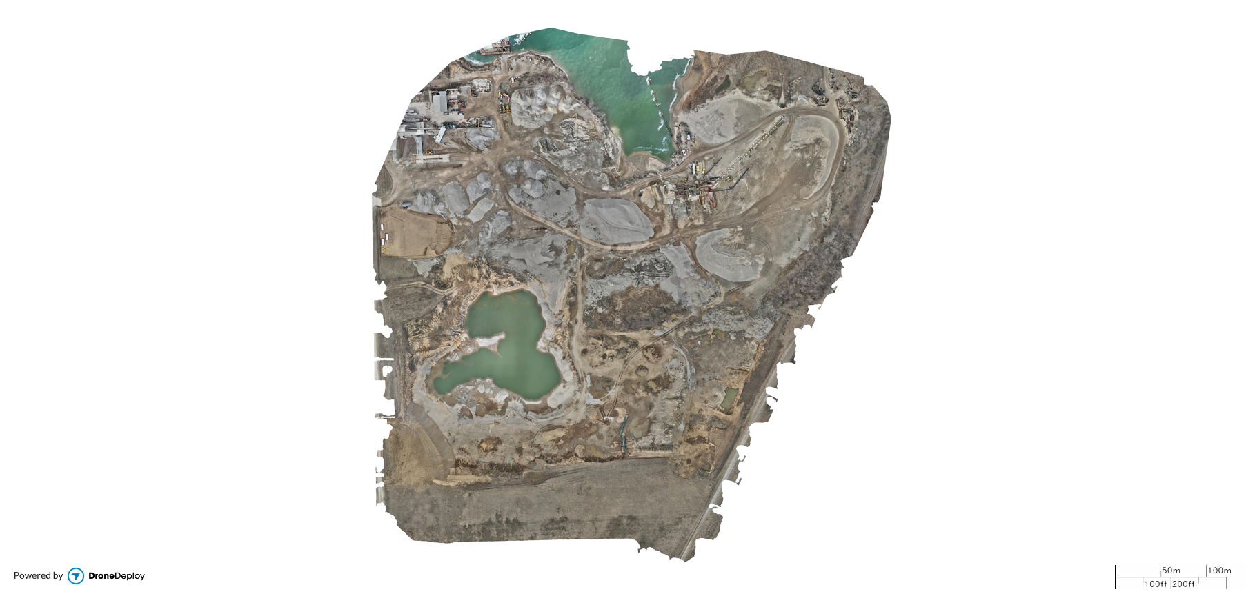
The collected imagery was processed using photogrammetry software to generate a detailed orthomosaic map.
Our workflow included:
Planning and executing the aerial flight.
Capturing overlapping high-resolution photographs.
Processing imagery through photogrammetry software.
Generating a georeferenced aerial map.
Reviewing the final deliverable for completeness and accuracy.
Projects Results
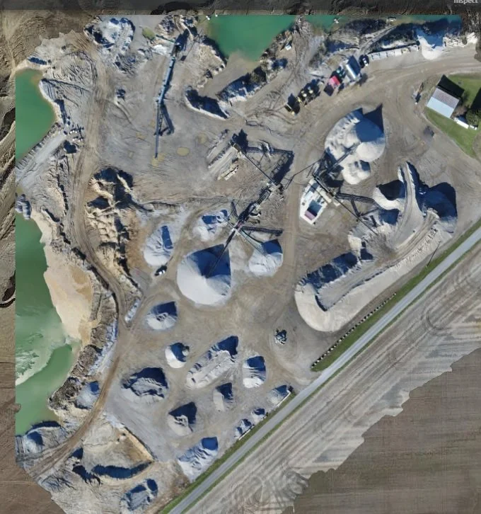
The completed aerial mapping project provided the customer with a detailed overhead representation of the site.
The final deliverables included:
High-resolution orthomosaic imagery.
Comprehensive aerial site documentation.
A visual reference for future planning and development.
The resulting imagery gives the customer a valuable resource for evaluating site conditions and communicating project information.
Project Deliverables
Actual project imagery and deliverables are displayed below. Client-identifying information has been modified or withheld to protect customer privacy.